
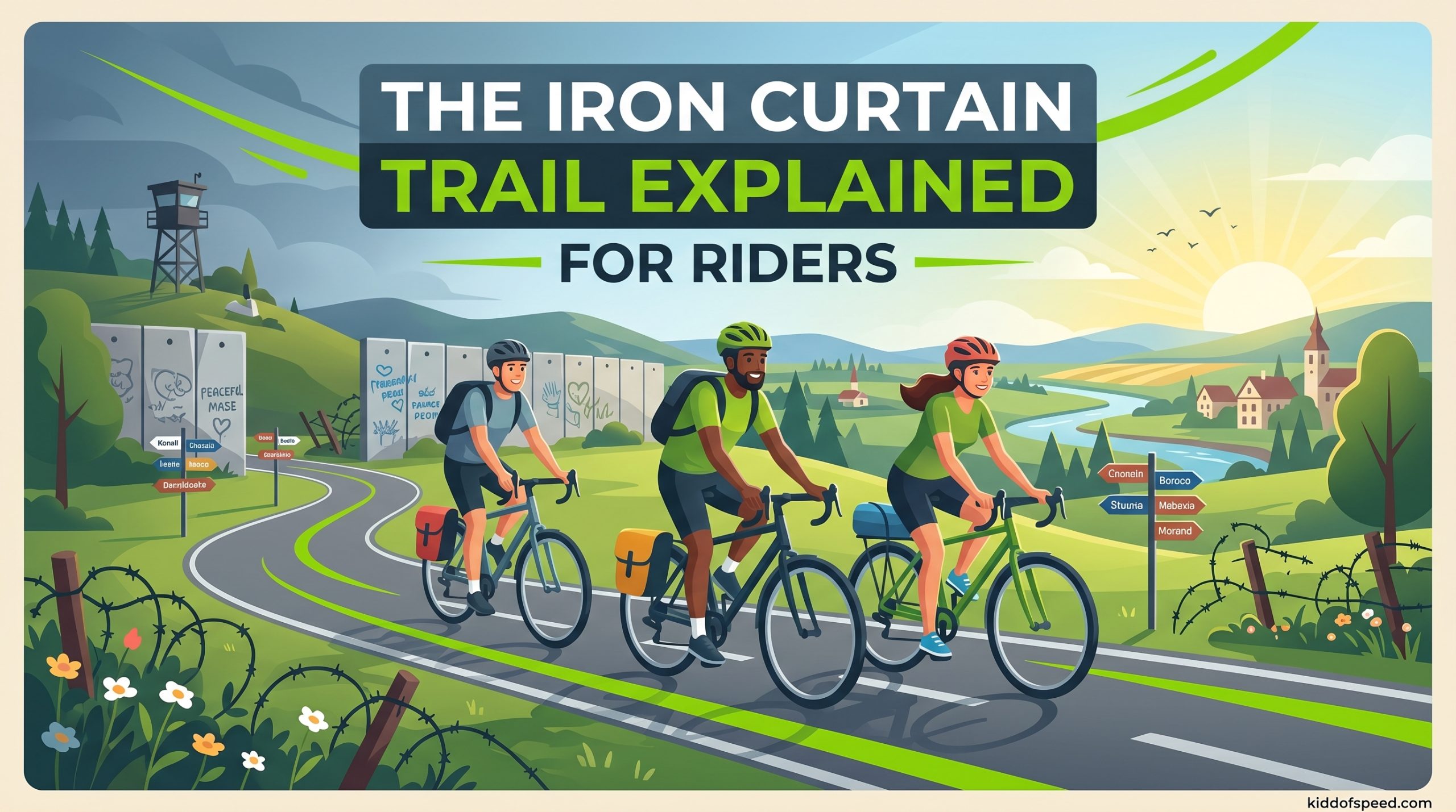
The Iron Curtain Trail represents one of the most ambitious cycling projects in European history. I have researched long-distance routes across the continent, and EuroVelo 13 stands apart for its historical weight and transformative mission.
In this guide, I will explain everything riders need to know about the Iron Curtain Trail. You will learn about the route’s 10,600km path through 20 countries, the Cold War history that shaped it, practical cycling information, and how to plan your own journey along this remarkable path.
Whether you dream of completing the entire route or exploring a specific section, this article provides the foundation for understanding what makes the Iron Curtain Trail one of cycling’s most meaningful adventures.
Table of Contents
What is the Iron Curtain Trail?
The Iron Curtain Trail, officially designated as EuroVelo 13 (EV13), is a 10,600-kilometer long-distance cycling route that follows the former border between Eastern and Western Europe. The trail stretches from the Barents Sea in the far north to the Black Sea in the south, tracing the path of the Iron Curtain that divided the continent during the Cold War.
The route passes through 20 countries and includes 14 UNESCO World Heritage sites along its path. It connects three European seas: the Barents Sea, the Baltic Sea, and the Black Sea. The European Cyclists’ Federation manages the route as part of the EuroVelo network, and it holds designation as a Cultural Route of the Council of Europe.
The trail serves multiple purposes beyond recreation. It preserves the memory of European division while promoting reconciliation and sustainable tourism. Cyclists encounter abandoned border installations, watchtowers, memorial sites, and stretches of unspoiled nature that developed along the former militarized zone.
The History Behind the Route
Winston Churchill coined the term “Iron Curtain” in a 1946 speech in Fulton, Missouri. He described the invisible barrier that had descended across Europe, dividing the Soviet-influenced East from the democratic West. This division would last for nearly half a century.
The physical border became one of the most heavily fortified boundaries in history. Barbed wire, minefields, guard towers, and shoot-to-kill orders prevented East Germans, Poles, Czechs, Hungarians, and others from fleeing to the West. An estimated 1,000 people died attempting to cross this border during the Cold War era.
When the Berlin Wall fell in 1989 and the border opened, a remarkable transformation began. The German Green Party, led by Michael Cramer (later a Member of European Parliament), proposed converting the former border strip into a cycling route. This initiative evolved into the European Green Belt project, which the Iron Curtain Trail now follows.
The European Parliament endorsed the concept, and development began in earnest during the 2000s. The route received official EuroVelo designation in 2014 and Cultural Route status from the Council of Europe in 2019. Today, it stands as both a memorial and a symbol of European unity.
Countries and Stages Breakdown
The Iron Curtain Trail spans 20 countries divided into 16 official stages. The route follows a logical north-to-south progression, though riders can join at any point and travel in either direction.
The 20 Countries Along EuroVelo 13
The route passes through Norway, Finland, Russia (with complications in Kaliningrad), Estonia, Latvia, Lithuania, Poland, Germany (including the former East/West German border), Czech Republic, Austria, Slovakia, Hungary, Slovenia, Croatia, Serbia, Romania, Bulgaria, North Macedonia, Greece, and Turkey.
Each country offers distinct terrain, culture, and historical sites. The Northern sections feature Arctic landscapes and Baltic coastlines. Central Europe provides dense forests, rolling hills, and major historical sites like the Berlin Wall. Southern sections traverse mountain ranges and Mediterranean landscapes before reaching the Black Sea.
Three Main Sections
The Northern Section runs from Kirkenes on the Barents Sea through Finland and the Baltic states to the Polish border. This approximately 2,500km stretch offers midnight sun cycling in summer, pristine Nordic nature, and fascinating Saami cultural heritage.
The Central Section covers Poland, Germany, Czech Republic, Austria, Slovakia, and Hungary. This is the historically densest portion, passing through Berlin, the former German-German border with its preserved watchtowers, and dramatic Alpine foothill crossings.
The Southern Section continues through Slovenia, Croatia, Serbia, Romania, Bulgaria, North Macedonia, Greece, and finally reaches the Black Sea in Turkey. This section features dramatic mountain crossings, ancient historical sites, and emerging cycling infrastructure in the Balkans.
What You’ll Experience Along the Route
The Iron Curtain Trail offers experiences found nowhere else in European cycling. I have analyzed rider accounts from forums and travel blogs, and certain elements consistently emerge as highlights.
Historical Memorials and Border Installations
Riders regularly encounter abandoned watchtowers, preserved border fences, and memorial sites marking where people attempted escapes. The Point Alpha memorial in Germany, the Marienborn border crossing, and numerous smaller installations provide powerful reminders of the division.
UNESCO World Heritage Sites
The route passes 14 UNESCO sites including the historic centers of Tallinn, Riga, and Budapest, the Berlin Modernism Housing Estates, the Wachau Cultural Landscape in Austria, and the ancient city of Troy in Turkey. These sites offer natural rest and exploration opportunities.
Unspoiled Nature and Wildlife
The former border zone became an accidental nature reserve. For decades, human activity was restricted, allowing wildlife to flourish. Riders report seeing lynx, wolves, bears, and countless bird species. The European Green Belt initiative now formally protects these corridors.
The Baltic coast sections offer particularly stunning wild camping opportunities. Forum users consistently mention free or low-cost camping along deserted beaches with untouched dunes and forests.
Unique Terrain and Cycling Conditions
The trail utilizes actual former patrol roads in many sections. These gravel and dirt paths offer a distinctive riding surface rarely found on other EuroVelo routes. Some riders describe these as “historical gravel grinding” with the added weight of significance.
Is the Iron Curtain Trail Completed?
As of 2026, approximately 85% of the Iron Curtain Trail is fully developed and signposted. The route completion varies significantly by country and region.
Germany, Austria, Czech Republic, and the Baltic states have nearly complete, well-marked sections. These areas feature consistent EuroVelo 13 signage, established services for cyclists, and reliable surface conditions. The German section particularly stands out for its comprehensive development.
Development continues actively in other regions. The Interreg Central Europe program funds ongoing improvements in Poland, Slovakia, and Hungary. Some sections in Saxony-Anhalt and parts of the Balkans remain under active development with completion expected through 2026-2027.
The Russia/Kaliningrad section presents unique complications. Most riders route around this area through Lithuania and Poland due to visa requirements and geopolitical tensions. Official EuroVelo guidance provides alternative routes that maintain the historical continuity while avoiding these barriers.
Even in completed sections, riders should download GPX tracks rather than relying solely on signage. Some remote stretches have limited signposting, and construction can temporarily disrupt marked routes.
Practical Cycling Guide
This section addresses the practical questions every rider asks before committing to the Iron Curtain Trail. I have compiled information from official sources, experienced riders, and my own research into cycling infrastructure.
Difficulty Level and Terrain
The Iron Curtain Trail rates as moderately difficult overall, though specific sections vary significantly. The Northern sections through Finland and the Baltic states feature relatively flat terrain with some gravel surfaces. Daily distances of 80-100km are achievable for fit riders.
The Central European sections present more challenge. The former German border includes hilly terrain with notable elevation gains. The Czech-Austrian border section demands serious climbing, with some riders reporting 4,000 meters of elevation over 300km of riding.
The Southern sections through the Balkans involve mountain crossings that require strong fitness and appropriate gearing. Riders consistently recommend mountain bikes or gravel bikes with wide tires for these portions.
Surface conditions vary from smooth asphalt to rough gravel and dirt. A gravel bike with 40mm+ tires or a touring bike with sturdy wheels handles most conditions well. Some experienced riders use mountain bikes for the rougher Balkan sections.
Best Time to Cycle
Timing your ride depends entirely on which sections you plan to tackle. The full route requires careful seasonal planning due to its vast latitudinal spread.
For the Northern Section (Norway to Baltic states), late May through early September offers the best conditions. July provides midnight sun in the far north, though temperatures remain moderate. September brings autumn colors but increasing rain.
The Central Section works well from April through October. May and September offer ideal temperatures with fewer tourists. Summer brings reliable weather but also the busiest conditions at historical sites.
The Southern Section allows the longest season, typically March through November. Summer heat in Bulgaria and Greece can be intense, making spring and autumn preferable. April-May and September-October provide the best balance of weather and crowds.
For the complete north-to-south journey, June through August represents the narrow window suitable for all sections simultaneously. Most riders complete the route in sections over multiple years rather than one continuous journey.
GPX Downloads and Navigation
Navigation resources have improved dramatically in recent years. The official EuroVelo website provides free GPX downloads for all completed sections. These tracks offer turn-by-turn guidance essential for sections with limited signage.
The Good Impact Cycling program, supported by the European Cyclists’ Federation, promotes sustainable cycling tourism along the route. Their resources include certified tour operators, environmentally friendly accommodations, and curated itineraries.
Bikeline publishes guidebooks for major sections of the Iron Curtain Trail. These guidebooks include detailed maps, elevation profiles, accommodation listings, and historical context. The Germany and Baltic sections have particularly comprehensive coverage.
Komoot and Ride with GPS both host user-generated collections of Iron Curtain Trail routes. Many riders share their completed tracks with photos and tips. These community resources prove invaluable for planning specific sections.
Accommodation and Camping
Finding accommodation along the Iron Curtain Trail requires different strategies depending on your location. The Bett+Bike network, operated by the German Cycling Association, certifies bicycle-friendly hotels and guesthouses. Many properties along the German and Austrian sections participate in this program.
Wild camping regulations vary dramatically by country. Scandinavian countries and the Baltic states generally permit wild camping under “everyman’s right” traditions. Germany, Czech Republic, and Austria have stricter regulations, though discreet camping in remote areas is often tolerated.
Forum users consistently report excellent wild camping along the Baltic coast in Poland and the Baltic states. The abandoned border zones often feature deserted areas perfect for stealth camping. Always follow Leave No Trace principles and respect private property.
Budget considerations vary significantly by region. Northern and Central Europe require 60-100 euros daily for accommodation and food. Southern sections through the Balkans allow more economical touring at 30-50 euros daily. Camping reduces costs dramatically throughout the route.
Frequently Asked Questions
How long is the Iron Curtain Trail EuroVelo 13?
The Iron Curtain Trail spans approximately 10,600 kilometers (6,580 miles) from the Barents Sea to the Black Sea. This makes it one of the longest EuroVelo routes. Most riders complete sections rather than the entire trail, with individual stages ranging from 300 to 800 kilometers.
What countries does the Iron Curtain Trail pass through?
The route passes through 20 countries: Norway, Finland, Russia (Kaliningrad), Estonia, Latvia, Lithuania, Poland, Germany, Czech Republic, Austria, Slovakia, Hungary, Slovenia, Croatia, Serbia, Romania, Bulgaria, North Macedonia, Greece, and Turkey. Each offers distinct terrain, culture, and historical sites.
Is the Iron Curtain Trail completed?
As of 2026, approximately 85% of the route is fully developed and signposted. Germany, Austria, the Czech Republic, and the Baltic states have complete sections. Development continues in Poland, parts of Germany, and the Balkans. Some riders use GPX tracks for sections with limited signage.
What is the Iron Curtain Trail difficulty level?
The trail rates as moderately difficult overall. Northern sections feature relatively flat terrain. Central sections include hilly areas and significant elevation gains. Southern sections involve mountain crossings requiring strong fitness. A gravel bike or touring bike with wide tires handles most conditions well.
Can you walk the Iron Curtain Trail?
Yes, the Iron Curtain Trail is open to hikers, though it was designed primarily for cycling. The European Green Belt hiking trail follows similar paths in many sections. Hikers should note that some cycling-specific routing may not be pedestrian-optimal, and distances require significant time commitment for through-hiking.
Ready to Ride the Iron Curtain Trail?
The Iron Curtain Trail offers something rare in cycling: a journey through living history that challenges your legs while expanding your understanding of Europe’s recent past. Whether you tackle the full 10,600km from Barents to Black Sea or explore a single meaningful section, you will join thousands of riders who have discovered this unique route.
Start your planning with the official EuroVelo resources, download the GPX tracks for your chosen section, and prepare for an experience that transcends ordinary bicycle touring. The Iron Curtain Trail awaits your wheels.