
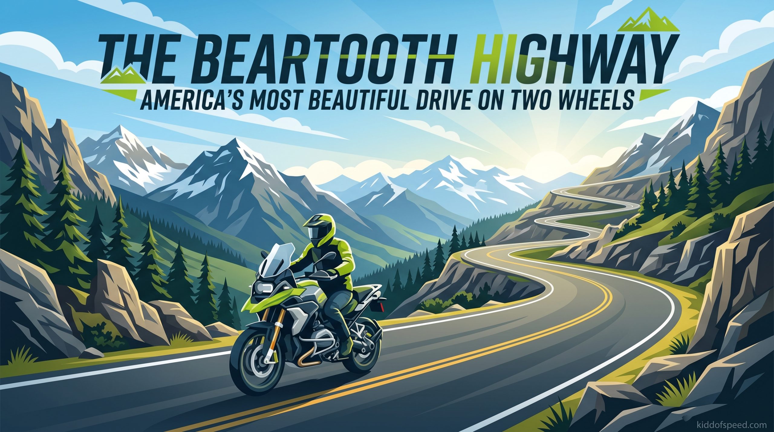
Charles Kuralt called it “the most beautiful drive in America.” After riding this legendary stretch of U.S. Route 212, I understand why. The Beartooth Highway delivers everything motorcyclists dream about: hairpin turns, switchbacks, high-alpine passes, and views that make you forget to breathe.
This Beartooth Highway motorcycle guide covers everything you need to plan your ride. I spent 3 days exploring every mile, talking to locals in Red Lodge, and learning the hard lessons about heat, traffic, and elevation that you will not find in the brochures. Whether you are planning your first trip or your fifth, here is what actually matters.
Table of Contents
- What Is the Beartooth Highway?
- Best Time to Ride Beartooth Highway
- Beartooth Highway Safety Tips for Motorcyclists
- Must-See Stops Along the Beartooth Highway
- Combining Beartooth Highway with Chief Joseph Scenic Byway
- Where to Eat and Stay
- What to Pack for Your Beartooth Highway Ride
- Frequently Asked Questions
- What is the 12 second rule on a motorcycle?
- What is the best time to ride Beartooth Highway?
- What does 2 fingers down mean on a motorcycle?
- What is the steepest grade on the Beartooth Highway?
- Is Beartooth Highway dangerous?
- Can you ride Beartooth Highway in one day?
- How long does it take to ride the Beartooth Highway?
- Do you need a permit to ride Beartooth Highway?
- Final Thoughts
What Is the Beartooth Highway?
The Beartooth Highway stretches 68 miles along U.S. Route 212, connecting Red Lodge, Montana to Cooke City and Silver Gate near Yellowstone National Park’s northeast entrance. This is not just another scenic road. It is an All-American Road designation, reserved for routes with exceptional scenic, historic, or cultural significance.
The highway winds through the Absaroka-Beartooth Wilderness, a rugged expanse of glacially carved peaks, alpine lakes, and untouched forests. You will cross the Montana-Wyoming border multiple times before reaching Beartooth Pass at 10,947 feet, the highest elevation along the route. The steepest grade hits 8 percent in sections, with countless switchbacks demanding your full attention.
Most riders complete the full route in 2 to 3 hours without stops. But that defeats the purpose. Plan for 4 to 6 hours minimum to truly experience what makes this road special. The elevation changes hit fast, temperatures swing dramatically, and every overlook competes for your attention.
Best Time to Ride Beartooth Highway
Timing your Beartooth Highway motorcycle trip makes or breaks the experience. The road typically opens Memorial Day weekend and closes by mid-October, but snow can linger into June or return by September.
July through August offer the most reliable conditions. Daytime temperatures range from 60 to 80 degrees at lower elevations, though you will feel the chill above 10,000 feet. September brings fewer crowds and stunning fall colors, but carries higher closure risk. Memorial Day weekend marks the annual Beartooth Rally in Red Lodge, drawing thousands of riders. Great for atmosphere, challenging for traffic.
Weekday riding matters more than most guides admit. I rode Tuesday through Thursday and enjoyed relatively clear roads. Fellow riders I met described weekend gridlock, slow-moving RVs creating long backup chains, and overheated tempers matching overheated engines. If your schedule allows, aim for Tuesday, Wednesday, or Thursday.
Morning starts help avoid afternoon thunderstorms common above treeline. By 2 PM, clouds build fast and lightning becomes a real hazard at exposed elevations. Start early, finish early, stay safe.
Beartooth Highway Safety Tips for Motorcyclists
This road commands respect. The combination of altitude, exposure, technical turns, and unpredictable weather creates conditions that have caught experienced riders off guard. Here is what actually keeps you safe.
The 12 Second Rule
The 12 second rule on a motorcycle means scanning 12 seconds ahead of your current position. At Beartooth Highway speeds, that translates to roughly one-quarter mile of continuous visual scanning. Look for gravel on turns, wildlife crossing, slow vehicles around blind corners, and changing road conditions. At high altitude with thin air, your reaction times feel slightly slower. Compensate by looking further ahead.
Hairpin Turns and Switchbacks
The Beartooth Highway features dozens of hairpin turns and switchbacks, some with steep drop-offs and minimal guardrails. Enter slow, exit smooth. Use late apex techniques, keeping your eyes fixed on the exit point rather than the guardrail or the edge. The road surface varies, polished in high-traffic areas and gravel-strewn in others. Never assume consistent grip.
Heat Management
Here is what the tourist brochures will not tell you: motorcycles overheat on this route. The combination of sustained low-speed climbing, thin air reducing cooling efficiency, and summer temperatures in the 90s creates a perfect storm for overheating. I watched a Harley rider pull over with steam pouring from his radiator at mile 32.
Ride early morning to avoid peak heat. Allow airflow by opening jacket vents or removing layers during stops. Monitor your engine temperature gauge closely. If you hit the red zone, pull over immediately. Let the bike cool completely before continuing. Carry extra water for both yourself and your engine if your bike runs hot.
Traffic Awareness
RVs, trailers, and rental cars populate this road during peak season. Many drivers lack experience with mountain roads, hugging the center line or braking unpredictably on descents. Give them space. Use turnouts when faster vehicles approach from behind. Practice the 2 fingers down motorcycle greeting to acknowledge fellow riders. It signals solidarity and awareness.
Altitude Considerations
At 10,947 feet, the air contains roughly 30 percent less oxygen than at sea level. You may notice slight breathlessness during physical activity. More importantly, temperature drops approximately 3.5 degrees per 1,000 feet of elevation gain. That means 75 degrees in Red Lodge becomes 40 degrees at Beartooth Pass. Pack layers and expect the unexpected.
Must-See Stops Along the Beartooth Highway
The Beartooth Highway motorcycle route rewards riders who slow down. These stops define the experience.
Rock Creek Vista Point
Milepost 10 marks Rock Creek Vista Point, your first real taste of what awaits. The overlook drops away to reveal a massive glacial valley with the Beartooth Mountains rising beyond. Stop here to acclimate, photograph, and prepare mentally for what comes next. The switchbacks start soon after.
Beartooth Pass Summit
The summit at 10,947 feet represents the highway’s highest point and emotional peak. The Top of the World Store sits nearby, offering snacks, drinks, and basic supplies during operating hours. Views extend across the Absaroka-Beartooth Wilderness, alpine lakes dotting the landscape below. Weather changes rapidly here. I watched clear skies transform to sleet in 20 minutes during late August.
Alpine Lakes and Glacial Features
Between the summit and Cooke City, the road traces past several accessible alpine lakes. Gardner Lake and Little Bear Lake offer short hiking opportunities if you pack appropriate footwear. The terrain reveals its glacial origins everywhere, carved valleys, cirques, and exposed rock faces telling stories of ice ages past.
Wildlife Viewing Areas
Morning and evening riders often spot mountain goats, bighorn sheep, elk, and black bears. Keep cameras accessible but maintain safe distances. Yellowstone’s ecosystem extends well beyond park boundaries, and these animals live here year-round.
Combining Beartooth Highway with Chief Joseph Scenic Byway
Smart riders extend their journey by combining the Beartooth Highway with the Chief Joseph Scenic Byway. This 46-mile route connects Cooke City to Cody, Wyoming through the Clarks Fork Canyon.
The Chief Joseph Highway offers different scenery, river valleys, dramatic canyon walls, and historic sites marking the Nez Perce flight of 1877. The road quality matches Beartooth’s high standards, with similar elevation changes and technical riding. Most riders describe Chief Joseph as slightly less dramatic but more peaceful, with lighter traffic.
A recommended itinerary: Day one, ride Red Lodge to Cooke City via Beartooth Highway, overnight in Cooke City. Day two, continue through Chief Joseph Scenic Byway to Cody, overnight there. Day three, return via alternative routes or explore Yellowstone’s northeast entrance. This loop maximizes your high-country experience while avoiding backtracking.
Where to Eat and Stay
Planning your stops matters because services disappear between the towns.
Red Lodge, Montana
Red Lodge serves as the traditional starting point and offers full services. Restaurants range from casual cafes to upscale dining. The Red Lodge Ales Brewing Company provides excellent post-ride refreshment. Hotels fill up fast during peak season and the Beartooth Rally. Book well ahead.
Cooke City and Silver Gate
These tiny towns sit just outside Yellowstone’s northeast entrance. Cooke City offers limited lodging, mostly small inns and cabins. Silver Gate provides even fewer options but quieter atmosphere. Both towns serve as gateways to Lamar Valley, often called America’s Serengeti for wildlife density. Prices run high and availability runs low. Reserve early.
Camping Options
Developed campgrounds exist at Rock Creek (near Red Lodge) and several spots along the route. Dispersed camping is permitted in National Forest areas with proper permits. Weather at high-elevation campsites turns harsh quickly. Bring four-season gear even in summer, and always secure food from bears.
What to Pack for Your Beartooth Highway Ride
Preparation separates great rides from miserable ones. Pack for temperature swings, sudden weather, and self-sufficiency.
Layered clothing lets you adapt from 90-degree valleys to freezing summits within hours. Bring a base layer, mid-weight insulation, and a waterproof outer shell. Sun protection matters more at altitude. UV intensity increases significantly above 10,000 feet. Sunscreen, lip balm with SPF, and sunglasses are essential.
Rain gear should stay accessible, not buried in luggage. Afternoon thunderstorms strike with little warning. Pack extra water and snacks. The Top of the World Store hours vary, and the stretch between services runs long. Carry a basic tool kit, tire repair supplies, and know how to use them.
Consider bringing extra fuel if your bike has limited range. The full route plus exploring burns more gas than you might expect, especially at high altitude where engines run less efficiently.
Frequently Asked Questions
What is the 12 second rule on a motorcycle?
The 12 second rule means scanning 12 seconds ahead of your current position while riding. This gives you time to identify and react to hazards. At typical highway speeds, this equals roughly one-quarter mile of road. On technical routes like Beartooth Highway, this rule becomes essential for spotting gravel, wildlife, and slow vehicles around blind turns.
What is the best time to ride Beartooth Highway?
The best time to ride Beartooth Highway is July through early September. The road typically opens Memorial Day weekend and closes by mid-October. July and August offer the most reliable weather, though afternoon thunderstorms are common. September brings fewer crowds but higher risk of early snow. Weekday riding (Tuesday through Thursday) avoids weekend traffic congestion.
What does 2 fingers down mean on a motorcycle?
Two fingers down is a motorcycle greeting between riders. It signals awareness, solidarity, and respect. When passing oncoming motorcyclists, extending your left hand with two fingers pointed toward the road acknowledges you see them and recognize the shared experience. On busy routes like Beartooth Highway, this small gesture builds community among riders.
What is the steepest grade on the Beartooth Highway?
The steepest grade on Beartooth Highway reaches 8 percent in sections. Most of the challenging climbing occurs between Red Lodge and Beartooth Pass, with sustained grades requiring careful throttle control and braking technique. Switchbacks and hairpin turns compound the difficulty, demanding smooth inputs and proper line selection.
Is Beartooth Highway dangerous?
Beartooth Highway presents real challenges that demand respect. Steep drop-offs, minimal guardrails, unpredictable weather, high altitude effects, and summer traffic create genuine hazards. However, thousands of motorcyclists ride safely each year by following proper safety protocols, maintaining appropriate speeds, and respecting conditions. The road itself is well-maintained with excellent pavement quality.
Can you ride Beartooth Highway in one day?
Yes, you can ride Beartooth Highway in one day. Most riders complete the 68-mile route in 2 to 3 hours without stops. However, this misses the point. Plan for 4 to 6 hours to enjoy viewpoints, take photographs, and experience the high country. Combining with Chief Joseph Scenic Byway for a longer loop creates a more memorable multi-day adventure.
How long does it take to ride the Beartooth Highway?
Riding the full 68-mile Beartooth Highway takes 2 to 3 hours at moderate speeds without stops. Adding stops at Rock Creek Vista Point, Beartooth Pass Summit, and other viewpoints extends this to 4 to 6 hours. Riders continuing through to Yellowstone or combining with Chief Joseph Scenic Byway should plan for a full day of riding.
Do you need a permit to ride Beartooth Highway?
No special permit is required to ride Beartooth Highway. The route follows U.S. Route 212, a public highway. No entrance fees apply unless you continue into Yellowstone National Park. Standard motorcycle registration, insurance, and licensing requirements apply. Camping in National Forest areas requires appropriate permits obtained at ranger stations or online.
Final Thoughts
The Beartooth Highway earns its reputation as America’s most beautiful drive on two wheels. This Beartooth Highway motorcycle guide captures what I learned from 3 days on the route, the good, the challenging, and the unforgettable. The switchbacks demand skill. The altitude demands respect. The views demand you stop and stare.
Plan for weekday rides in July or August. Pack for temperature swings from 90 degrees to freezing. Respect the 12 second rule, manage your engine heat, and acknowledge fellow riders with 2 fingers down. Most importantly, take your time. The Beartooth Highway has stood for millions of years. It will wait while you absorb every mile.
Safe travels, and I will see you at the Top of the World.