
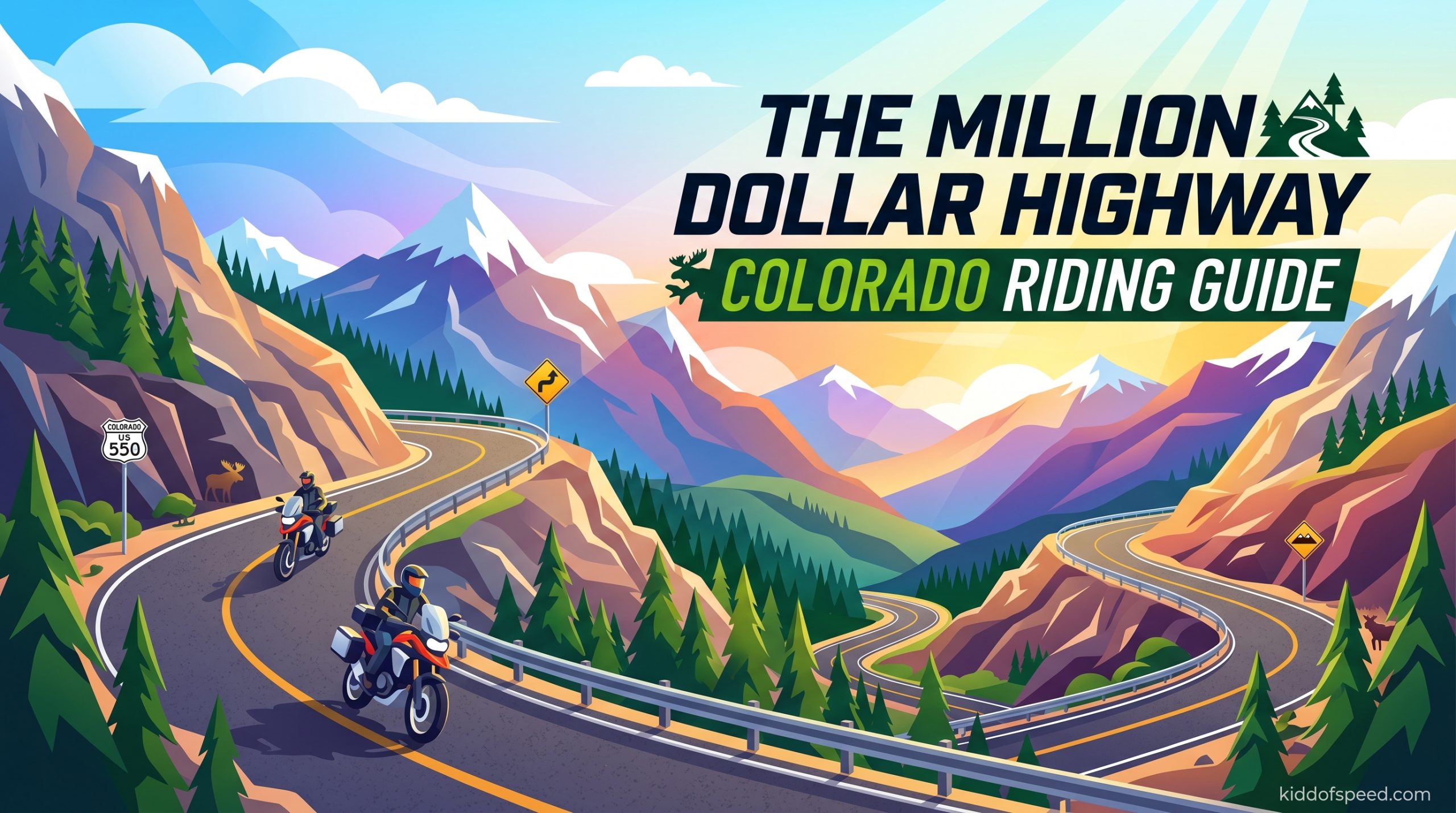
The Million Dollar Highway in Colorado is one of the most talked-about stretches of asphalt in American motorcycling. It is a 25-mile section of US 550 that connects the historic mining towns of Ouray and Silverton, threading through the heart of the San Juan Mountains with hairpin turns, steep grades, and views that make you forget to watch the road ahead. I have been riding Colorado mountain passes for over a decade, and this particular route still gets my attention every time I drop into those tight curves with sheer drop-offs on one side and rock walls on the other. This guide covers everything you need to know before you ride the Million Dollar Highway, from route details to safety tips, best times to go, and the stops you should not miss.
Table of Contents
- Million Dollar Highway Colorado Riding Guide: Understanding the Route
- Why Is It Called the Million Dollar Highway
- Best Time to Ride the Million Dollar Highway
- Riding Skills and Safety Requirements
- Key Stops Along the Million Dollar Highway
- Wildlife and Scenery Highlights
- Practical Tips for Your Ride
- Extended Route Options
- Where to Stay Along the Million Dollar Highway
- Frequently Asked Questions
- Ride the Million Dollar Highway Responsibly
Million Dollar Highway Colorado Riding Guide: Understanding the Route
The Million Dollar Highway runs for approximately 25 miles along US 550 between Ouray and Silverton in southwestern Colorado. This is not a highway in the flatland sense. It is a mountain road that climbs from around 7,000 feet in Ouray to more than 11,000 feet at Red Mountain Pass before dropping back down to 9,000 feet in Silverton. The road is part of the larger San Juan Skyway, a 236-mile scenic byway that loops through some of Colorado’s most dramatic mountain terrain. There are no divided lanes, no guardrails in many sections, and tight curves that demand your full attention. The speed limit varies but typically ranges from 25 to 45 mph on the switchbacks, though experienced riders often take those curves considerably faster once they know the road.
Ouray serves as the southern starting point, a town of about 1,000 people famous for its hot springs and stunning box canyon setting. Silverton marks the northern end, a former mining hub that has preserved much of its 19th-century character. Between these two towns, the road climbs through some of the most challenging and beautiful mountain terrain in the Rockies. The route takes most riders between 1.5 and 2 hours if you ride it conservatively with stops, though dedicated riders who want to really lean into the curves can easily spend half a day or more exploring every overlook and pull-off along the way.
Why Is It Called the Million Dollar Highway
The name origin has two competing stories, both tied to the area’s mining heritage. The first version involves a businessman in the late 1800s who reportedly said the road cost a million dollars per mile to build. At the time, that figure was astronomical for a mountain road, reflecting the engineering challenges of cutting a route through vertical rock faces and across unstable mountain slopes. The second story suggests that early travelers found gold in the roadbed itself, with miners joking that the pavement was laid directly over rich silver ore. Both versions capture the extravagance and ambition of building a road through terrain that seemed impossible to conquer.
What is not debated is that the road was built with significant human cost. Construction crews faced avalanches, rock slides, and extreme weather while blasting the route through solid granite. The Million Dollar Highway in its current form was actually rebuilt in the early 1990s after a massive rockslide buried a section of the original road. That construction project cost around $50 million for just a few miles of roadway, which gives you an idea of why the name still feels appropriate today. The road remains expensive to maintain, with annual repairs needed after each winter’s freeze-and-thaw cycle weakens the cliffs above and below the roadway.
Best Time to Ride the Million Dollar Highway
Summer months from late June through mid-September offer the most reliable riding conditions on the Million Dollar Highway. By June, the snow has typically cleared from the higher elevations, and the road is fully open to traffic. July and August bring warm days with temperatures in the 70s at lower elevations, though Red Mountain Pass can still feel cool even in summer. This is when you will see the most traffic, including tourist cars, RVs, and motorcycle groups. Weekends can be particularly busy, so consider a weekday ride if possible. We did a Saturday ride in July last year and spent as much time behind slow-moving RVs as we did actually enjoying the curves.
Fall provides arguably the best scenery, with the aspen groves along the route turning brilliant gold in late September through early October. The traffic drops compared to summer, and the cool air makes for excellent riding conditions. The tradeoff is that you are flirting with early snow, particularly at higher elevations. We had to turn back one October weekend when an early storm dropped six inches on Red Mountain Pass. Check current road conditions before you go during shoulder season. Spring riding, typically May into June, means dealing with ongoing construction and the possibility of mud from snowmelt. The road is usually fully open by Memorial Day, but expect delays from roadwork through mid-June.
Riding Skills and Safety Requirements
Let me be direct about the skill level needed for the Million Dollar Highway. If you are a new rider or uncomfortable with tight curves and steep grades, this road will push you beyond your comfort zone in ways that may not be safe. Experienced riders describe the curves as demanding, with some hairpins so tight you will be dragging hard parts if you carry any real speed. The road has narrow lanes, limited sight lines, and vehicles coming around blind corners. You need to be confident in your ability to position your bike correctly through sweeping turns, maintain proper speed on descents, and handle sudden surprises like rocks, debris, or slow-moving vehicles around blind corners.
Forum discussions from motorcycle riders consistently mention that first-timers often underestimate the road. Several riders shared stories of being stopped by police even after years of riding experience, usually for going too fast through a curve or crossing the center line in a no-passing zone. The lack of guardrails creates genuine psychological pressure on the tighter sections, and that anxiety can cause you to ride tensely, which actually reduces your control. Our team has ridden this route multiple times, and we recommend doing at least one reconnaissance run at a conservative pace before trying to push your pace. The drop-offs are real, and the consequences of a mistake are severe.
Winter riding on the Million Dollar Highway is not recommended. The road is technically open year-round, but ice and snow make it genuinely dangerous. Forum posts mention recent fatalities during winter months, and the combination of narrow lanes, steep grades, and lack of barriers creates conditions where ordinary driving errors become fatal. Even if you have experience riding in cold weather, the sheer drops and tight curves here mean that any loss of traction is likely to send you over the edge. Wait for spring, or at minimum plan your ride for a clear day with dry pavement and reasonable temperatures.
Key Stops Along the Million Dollar Highway
Starting in Ouray, do not miss the Ouray Hot Springs. The town sits in a natural hot spring basin, and you can soak in pools ranging from 96 to 106 degrees with mountain views surrounding you. After hours of gripping the handlebars through those switchbacks, your muscles will thank you for the mineral water soak. The Box Canyon Falls just south of Ouray is another must-see, where a 55-foot waterfall plunges into a narrow box canyon right next to the viewing platform. There is a short hike to the falls that takes you behind the cascade itself, which is genuinely spectacular on a wet spring day when the water flow is strong.
Red Mountain Pass offers the most dramatic scenery on the route, though you will want to find safe pull-offs to take it in rather than trying to admire it while navigating the curves. The pass sits above 11,000 feet, and on a clear day you can see for miles in every direction across the San Juan Mountains. Watch for wildlife here, particularly bighorn sheep on the rocky slopes and occasionally moose in the wetlands near the pass. The road descends through a series of tight switchbacks called the “Upper Hairpin” and “Lower Hairpin” sections that are the most technically demanding parts of the route. These are where riders consistently report being tested, so approach them with respect.
Silverton is worth at least an hour of exploration. The town has preserved its historic downtown with wooden sidewalks and century-old brick buildings. The Silverton Historical Society runs walking tours in summer that cover the mining era and the devastating Avalanche of 1877 that killed dozens of miners. The San Juan County Historical Society also operates a museum in the old jail building, which has an interesting collection of mining equipment and pioneer artifacts. If you have time, grab lunch at the Handlebars restaurant or pick up supplies at the General Store before continuing north toward Molas Pass or turning back south.
Bear Creek Falls is a popular stop about 12 miles south of Silverton on US 550. The waterfall drops into a narrow gorge where Bear Creek plunges over a ledge, creating a dramatic scene especially in late spring when snowmelt swells the creek. There is a large pull-off area with restrooms, and the falls are visible from the parking area, making this an easy stop even if you are riding with a group that may not want to hike. Photography enthusiasts can get closer views by following the short trail along the creek, though the rocks can be slippery.
Molas Pass, just north of Silverton, is another scenic highlight that gets less attention than Red Mountain Pass. The pass sits at about 10,000 feet and offers panoramic views of the surrounding peaks. The pull-offs here are more generous than on the main highway, making it easier to stop and stretch your legs. In late summer, wildflowers carpet the meadows near the pass, and the fall colors here are particularly striking given the mix of aspen and evergreen. We have seen moose in the beaver ponds near Molas Pass on three separate occasions, making this my favorite wildlife-watching stop on the route.
Wildlife and Scenery Highlights
Motorcycle riders often focus so much on the road that they forget to look up, but the San Juan Mountains surrounding the Million Dollar Highway are home to impressive wildlife. Moose are the most sought-after sighting, and they are most commonly spotted near wetlands and ponds along the route. Molas Pass and the area around Red Mountain Pass both offer good moose habitat, particularly in early morning and late afternoon. Bighorn sheep frequent the rocky slopes near the pass, and you may see them grazing on the cliffs above the road if you slow down and scan the terrain. These animals are accustomed to vehicles and often ignore motorcycles entirely, making for excellent photography opportunities.
Black bears are also present in the area, though they are more elusive than the ungulates. Watch for movement in the treeline and roadside meadows, particularly during berry season in late summer. Elk herds move through the higher elevations in autumn, and you may hear their bugling calls during September and October. The fall colors themselves draw many riders to the Million Dollar Highway, with golden aspens creating a quilt across the mountainsides that contrasts dramatically with the dark green of the pine forests and the gray of the rock peaks. Photography spots are plentiful, but the best views are from the pull-offs on Red Mountain Pass and Molas Pass where you can see the full expanse of the colored slopes.
Practical Tips for Your Ride
Gas up in Ouray before starting the route. The town has several stations, and while Silverton also has fuel, you do not want to run low on a remote stretch of mountain road with no services. Expect to pay Colorado mountain prices, which typically run higher than Front Range stations due to the logistics of transporting fuel to remote areas. Ouray also has motorcycle-friendly lodging and several shops where you can pick up supplies if you forgot anything. The town is used to motorcycle tourists and is generally welcoming to riders.
Cell phone service is limited on the route. The higher elevations have some coverage, but expect to be without service for significant stretches. Tell someone your plans before you go, and do not rely on your phone as your only safety backup. The lack of service also means you cannot count on GPS navigation if you encounter an issue, so printed maps or offline route tracking are smart additions to your gear. Some riders use satellite communicators like the Garmin inReach for emergencies, and this is not a bad idea given the remote nature of the route and the severity of consequences if something goes wrong.
Timing your ride matters more than you might expect. The road is most enjoyable early morning when traffic is light and the road surface has not yet absorbed the day’s heat. Afternoon rides in late summer can be hot at lower elevations while the higher passes remain cool. Construction is common in summer months, with daytime roadwork potentially causing delays of 15 to 30 minutes. Check the Colorado Department of Transportation road conditions page before you leave, and be prepared for pilot car operations on any section. Our team budgeted an extra hour of travel time beyond our riding time for stops and potential delays.
What to pack for the ride. Bring layers even in summer, as the temperature can drop 20 degrees between Ouray and Red Mountain Pass. Rain can move in quickly at altitude, so waterproof gear is essential. At minimum, carry basic tools, tire repair supplies, and more water than you think you need. The altitude at the pass is over 11,000 feet, which can cause mild altitude sickness in unacclimatized riders. Symptoms include headache, nausea, and fatigue, all of which can impair your riding. Drink plenty of water, take breaks, and do not push hard on your first day at altitude. If you are coming from sea level, consider spending a day in Denver or another moderate altitude location before heading to the high country.
Extended Route Options
The Million Dollar Highway connects to several other scenic routes that can extend your ride into a multi-day adventure. The full San Juan Skyway forms a 236-mile loop that takes in Ouray, Silverton, Durango, and Pagosa Springs before returning to the starting point. This loop typically takes two to three days of relaxed riding, with overnight stops in Silverton and possibly Mesa Verde or Pagosa Springs. The skyway includes the Million Dollar Highway plus additional scenic stretches like the Coal Bank Pass and the approach to Mesa Verde National Park.
The Alpine Loop is a more challenging optional addition that takes you through some of the area’s mining ghost towns on gravel roads. This route requires high-clearance vehicles and is not suitable for all motorcycles, but adventurous riders with appropriate bikes and experience can explore old mining sites like Animas Forks and how they relate to the region’s mining history. The Alpine Loop is typically open from late June through October, and conditions can deteriorate rapidly after summer storms. Check current status before adding this to your itinerary.
Telluride is accessible via a separate route from the Ouray area, adding another scenic mountain pass and a charming historic town to explore. The drive takes about two hours from Ouray, crossing the 10,000-foot Dallas Divide before descending into the Telluride Valley. This makes for a long day but can be combined with an overnight stay in Telluride if you want to explore the town’s famous festival scene or enjoy the hot springs in that area. Many riders we spoke with recommended doing the Million Dollar Highway first, then adding Telluride on a second day when you are more familiar with mountain riding conditions.
Where to Stay Along the Million Dollar Highway
Ouray offers the widest range of accommodations, from the historic Ouray Hot Springs Lodge to smaller motels and vacation rentals. The town has a small-town mountain feel with several restaurants and shops catering to tourists. Summer weekends book up early, so make reservations if you are planning a specific date. The Ouray Riverside Resort offers camping spots along the Uncompahgre River, which is a scenic and convenient option for motorcycle riders who prefer to camp. The river sites are walk-in from the parking area, which can be a consideration if you have a lot of gear.
Silverton has fewer options but retains more of its historic character. The country inn-style accommodations here tend toward the simple but functional, with the former mining town atmosphere more intact than in the tourist-focused Ouray. Silverton is quieter than Ouray, which some riders prefer after spending the day dealing with traffic and crowds on the highway. The camping options near Silverton include the nearby Vallecito Reservoir area, though direct camping in town is more limited. Several riders mentioned that staying in Silverton gave them an early-morning start advantage, hitting the road before day-trippers arrived from Ouray.
Durango, about 90 minutes south of Silverton, offers the full range of modern amenities if you prefer more comfortable accommodations. The town sits at lower elevation and has a larger selection of hotels, restaurants, and services. Many riders use Durango as a base for a day ride on the Million Dollar Highway, driving north in the morning and returning in the evening. This works well if you are on a tight schedule, though you miss the early-morning advantage and may encounter more traffic heading the same direction you are riding.
Frequently Asked Questions
How long does it take to ride the Million Dollar Highway?
The ride takes about 1.5 to 2 hours conservatively with stops, or 2.5 to 3 hours if you stop at every overlook and take your time through the technical sections. The 25-mile route between Ouray and Silverton has numerous tight curves and steep grades that demand your attention, so rushing is not advisable.
Has anybody driven off the Million Dollar Highway?
Yes, there have been incidents over the years where vehicles have gone over the edge. The lack of guardrails in many sections combined with narrow lanes and steep drop-offs means that mistakes can have serious consequences. Several fatal accidents have occurred on the route, particularly involving motorcycles traveling too fast through curves or vehicles that lost control in winter conditions. Ride within your skill level and avoid the road during adverse weather.
What are the best stops along the Million Dollar Highway?
The must-see stops include Ouray Hot Springs for relaxation after riding, Box Canyon Falls near Ouray, Red Mountain Pass for panoramic views at 11,000 feet, Bear Creek Falls about 12 miles south of Silverton, and Molas Pass with its wildlife viewing opportunities. Silverton itself is worth exploring for its preserved historic downtown and the San Juan County Historical Society museum.
What is the speed limit on the Million Dollar Highway in Colorado?
The speed limit on the Million Dollar Highway typically ranges from 25 to 45 mph depending on the section. Lower speeds are posted in the tightest curve areas and through towns, while slightly higher speeds are allowed on the straighter sections between the major passes. However, the road challenging nature means that even the posted limits may be too fast for conditions, and experienced riders often choose speeds well below the limit through the most technical sections.
Ride the Million Dollar Highway Responsibly
The Million Dollar Highway delivers an unforgettable riding experience, but it demands respect. The combination of high altitude, tight curves, steep grades, and minimal barriers means that this is not a road for casual or careless riding. Approach it with appropriate caution, ride within your skill level, and do not let the excitement of the scenery distract you from the road. We have seen too many riders get distracted by the views or push beyond their abilities on this stretch. Take your time, make the stops, and come home with stories instead of regrets.
What makes this route special is that it rewards the prepared rider. Those who understand what they are getting into, who have checked their bikes, who have appropriate gear, and who ride with respect for the mountain conditions will find one of the most satisfying rides in Colorado. The history, the scenery, and the pure challenge of navigating those curves combine into an experience that keeps riders coming back year after year. Plan your ride, respect the mountain, and enjoy one of America’s most iconic motorcycle routes.